Partnered with #1 ADU Builders

24 Nov
- Golden State Design & Engineering
- Comment 0
How Much Does a Land Survey Cost in California?
Whether you’re planning a custom home, adding an ADU, subdividing land, or simply want to confirm your property boundaries, understanding how much does a land survey cost is essential. With the right insight from industry experts, you can budget accurately and avoid surprises. At Golden State Design & Engineering (GSDE) we work frequently with most homeowners, developers, and property owners across California, and we’ve collected current cost data and best‑practice advice to help you plan.
What Is a Land Survey and When Do You Need One?
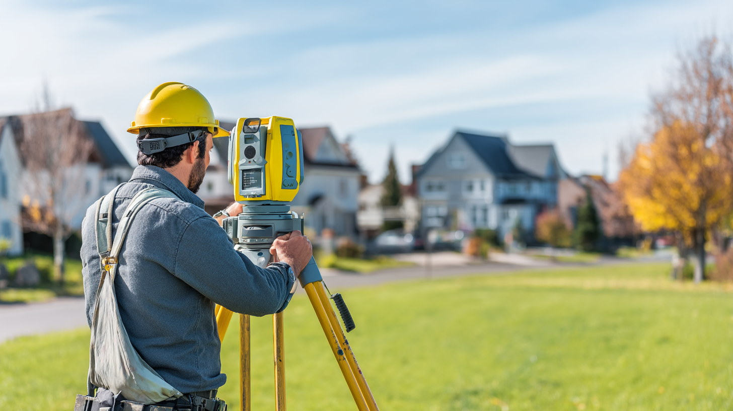
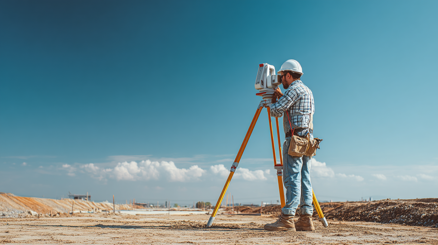
A land survey is a measurement and mapping process conducted by a licensed professional land surveyor to determine your property boundaries, corner markers, elevations, natural features, and man‑made property improvements (site improvements). It’s more than just a map; it’s a foundational legal document for construction, permitting, legal disputes, and future value.
You may need a land survey for various reasons, including resolving a title dispute or when breaking ground on a new project. It ensures the exact cost and scope of your project are based on accurate information about your parcel of land.
Common Situations That Require a Land Survey
You’ll often need property surveys when any of the following apply:
- You’re buying or selling real estate and want to confirm the property lines and review the property deed and public records.
- You’re building a custom home, an ADU, or doing a new construction survey for site layout.
- You plan to install a fence, retaining wall, or other improvement near lot lines and want protection against encroachment on your neighbor’s property.
- You’re subdividing land, doing a subdivision survey to create new parcels.
- You’re resolving a property dispute or title issue and need legal boundary line descriptions.
- You’re applying for permits, need grade/topographic data, or are in a flood zone and need an elevation certificate for flood insurance.
At GSDE our professional land surveyors coordinate seamlessly with our architectural, civil‑engineering, and permitting teams to deliver a fully integrated service.
Types of Land Surveys in California
Understanding different survey types helps you know what you’re paying for. Common types include:
- Boundary survey – establishes your lot’s exact boundaries and corner markers.
- Topographic survey – shows elevations, contours, natural features, and existing property improvements.
- ALTA survey (by the American Land Title Association) – a detailed survey typically required for commercial deals or large developments.
- Subdivision survey – used when dividing a parcel into multiple lots, mapping new property lines and easements.
- Construction survey – stakes out building footprints, utility lines, and grading for new construction.
- As‑built survey – documents existing improvements after construction for permitting, documentation, or resale.
Each has its own scope and contributes to land survey costs differently.
Average Land Survey Costs in California (2025 Data)
General Cost Range by Project Type
Here are current benchmarks for various survey scopes in California, reflecting the wide price range typical in the industry:
- Simple boundary survey on a typical suburban lot: approximately $850 to $1,800.
- Topographic survey (adding elevation and features): around $1,500 to $3,500+.
- ALTA survey: can run from $2,000 up to $5,500 or more, depending on property size and land characteristics.
- Subdivision surveys or large acreage rural parcels: can exceed $3,000 to $7,000+, depending on access, terrain, and regulatory demands.
- Nationally, the national average survey cost is around $2,300, though the range is very wide (from under $500 to over $25,000).
What Influences Land Survey Costs the Most?
Several cost factors affect the final cost of a land survey:
- Lot size and shape: larger parcels or irregular shapes take more time and add cost, but the cost per acre decreases as the parcel of land size increases.
- Terrain and vegetation: wooded, hilly, or hard‑to‑access lots increase field time and equipment needs.
- Existing records and corner markers: If the surveyor must dig through old property deed records or work from scratch, price goes up.
- Location and local regulation: Urban infill lots or hillside parcels (such as in California locales) tend to cost more due to additional webs of review and field complexity.
- Survey type and deliverables: A basic boundary survey costs less than an ALTA survey or a full topographic + staking job with legal documents and filings.
- Additional services: If you require a mortgage survey for your mortgage lender, title company work, stakes for construction, or utility locating, the price increases.
- Whether the survey is charged as a flat fee or hourly can impact the final cost.
Sample Cost Estimates by Region (California)
While every job is unique, here are approximate regional ranges:
- Sacramento / Folsom area: typical residential boundary survey might fall in the $1,000 to $2,500 range, assuming moderate terrain and clear access.
- El Dorado Hills (hillside terrain): could easily be $2,000 to $4,500, or more if steep, wooded or heavily encumbered.
- Santa Rosa / semi‑rural parcels: perhaps $1,200 to $3,000 for standard boundary or topo work.
- San Jose / Bay Area infill: due to high labor, regulation and lot constraints, typical $1,500 to $3,500+ for a boundary/topographic combination.
These regional estimates help you budget before you call for a quote.
What’s Included in a Land Survey (And What’s Not)?
Typical Inclusions
When you engage a reputable firm, your survey typically includes:
- Field measurements using total station, GPS, or drone technology to locate markers, corners, and features.
- Research of official public records, property deed records, plats, and maps from the surveyor’s office or other official records.
- Establishing or recovering property corners and marking them if required.
- Preparation of a sealed survey map or plat, with legal description and recorded land survey deliverable if required.
- Submission or filing with the county recorder or local agency if part of the scope.
- Deliverables in a digital format (CAD, PDF) for use in architecture, civil, permitting workflows, or landscape construction project planning.
Potential Extra Charges
Some tasks may result in additional fees beyond the base quote:
- Preparing formal legal documents and legal descriptions for new parcels or easements.
- Doing a mortgage survey or plat survey for a mortgage lender or title companies.
- Rush or expedited schedules.
- Construction staking beyond boundary lines, or new construction survey services to lay out building footprints.
- Revisits, remobilization, or resolving field issues (e.g., missing corner monuments).
- Utility locating, or detailed topographic mapping beyond what was quoted.
Understanding what’s included helps you compare quotes apples‑to‑apples.
How to Get the Most Value from Your Land Survey

Tips for Homeowners and Developers
To maximize value and minimize surprises:
- Provide existing records: If you have older plats, surveys, deed records or corner monuments, share them. It can reduce the research time and cost.
- Clarify your project scope early: Are you just marking boundaries, or do you need topo and staking for new construction or an ADU? Describe the full plan when requesting quotes.
- Request a detailed quote: Ask for a breakdown of what is included (map, corners, filing, stakes, digital files) and what extra services may cost.
- Check licensing & local experience: Verify your surveyor is licensed in California and knows the local county recorder, terrain, and permitting process.
- Coordinate early with design/engineering: A survey that doesn’t integrate with your architecture or civil team can cause rework, adding cost and delays.
- Consider ways to save money by planning ahead and avoiding rush jobs.
Why Working with GSDE Makes a Difference
At GSDE you benefit from an integrated approach where surveying land, civil engineering, and architecture work together under one roof. That means:
- Seamless handoff of survey deliverables into the design process.
- Local knowledge of California jurisdictions (Sacramento, Folsom, El Dorado Hills, Santa Rosa, San Jose).
- Clarity in scope and cost upfront, so fewer surprises later in permitting or construction.
- Deliverables that support future project phases: site planning, grading, permit drawings, construction layout.
When you partner with us you’re not just paying for land surveys, you’re investing in a streamlined workflow that helps guard your budget, schedule, and final outcome.
Land Survey Cost FAQs
How much does a land survey cost per acre?
It varies. For flat parcels with good access you might see $600‑$1,200 per acre for smaller lots; for large acreage with challenging terrain cost per acre may drop, but total cost rises. National data suggest 1‑acre parcels may cost $1,000‑$3,500 depending on conditions.
Can I use a cheap online land survey or past plat map instead?
No. Only licensed surveyors performing a current survey deliver legally acceptable documents for permitting, lending, or construction. Cheap “flagging” jobs may not meet county or permitting standards and leave you exposed to risk. Indeed, in an industry forum one surveyor noted a $500 quote often meant minimal work: “Pretty obvious to me when someone tells me something like that… they don’t have a clue what it really costs to do a proper survey.”
Is a land survey required before building a fence or ADU?
In most cases yes. Building close to or on lot lines, adding structures like an ADU, or installing a fence all hinge on confirming your property boundaries. Without a proper boundary survey you risk building on your neighbor’s property or running into zoning setbacks and permit refusals.
How long does a land survey take?
A standard residential boundary survey might take 2–3 weeks from kickoff to deliverable, but larger parcels, complex terrain, or surveys requiring significant record research can extend the schedule.
What’s the difference between an ALTA survey and a boundary survey?
A boundary survey focuses strictly on where your property ends (the exact boundaries) and locating corner markers. An ALTA survey (per American Land Title Association) is much more detailed; it includes property improvements, easements, encroachments, title insurance compliance and is often used for commercial property buyers. Because of the added scope, ALTA surveys cost significantly more.
Will the surveyor mark my property lines with stakes?
Yes, when included in the scope. Most boundary surveys will establish corner markers or stakes at key points, especially if construction is planned. If you want additional markers or want stakes placed for future development or improvements, be sure to ask and clarify fees.
Does the county accept my survey for permitting?
Yes, provided the survey is performed by a licensed professional land surveyor, meets local county requirements, includes the proper legal description, map/plats and is submitted properly. At GSDE we ensure compliance with local jurisdictions so your survey supports the next steps of your project.
Final Thoughts: Budgeting for Your Survey and Beyond
When wondering “how much does a land survey cost”, remember that the actual price is less important than the value you get. A quality land survey protects your investment, avoids legal disputes, supports permitting, and sets your project on strong footing. Budget realistically, ask the right questions, and hire a professional trusted firm that can guide you through the process.
For home‑owners, developers, and property owners across California our recommended budget range for a standard residential boundary survey is approximately $1,000 to $2,500, but plan for $3,000 to $5,000+ for complex parcels, steep terrain or subdivision work. At GSDE we’ll give you a custom quote tailored to your lot, your goals and your region.
Ready to move forward? Contact Golden State Design & Engineering today for a professional land survey quote. Let’s ensure your entire property is fully surveyed, your boundary lines are clear, and your project begins on a confident, documented foundation.
#NAICS’s:
- 541310 Architectural Services &
- 541330 Engineering Services
DUNS NO:
- 119132267
#SIC’s
- 8712 Architectural Services &
- 8711 Engineering Services
Cage #
- 9R4L5
#UNSPSC’s:
- 81101500, 81101502, 81101505, 81101508, 81101526, 81101533, 81101522