
26 Sep
- Golden State Digital Exchange
- Comment 0
What Is a Cadastral Survey? A Complete Guide for California Property Owners
A cadastral survey is a foundational step in land development, and for many property owners it’s the line between certainty and costly mistakes. Whether your project involves building a home, subdividing property, or clarifying land ownership, understanding cadastral surveys is essential. In this article we explain how cadastral surveys work, why they matter in California, and how GSDE’s licensed cadastral surveyor and land surveyor teams deliver precise results you can trust.
The Basics: Cadastral, Cadastre, and the Public Land Survey System
The word cadastre refers to the system and record that define land parcels, their extent, ownership, and value. A cadastral map is a map that shows land boundaries, parcel identifiers, and legal documents are often tied to those maps. In many jurisdictions in the United States, portions of our land reference framework trace back to the Public Land Survey System, which divides large areas into townships and sections in a rectangular system of coordinates. Though the PLSS is less commonly used in California compared to some other states, knowledge of the public land survey methods remains important especially when original surveys cross jurisdictions or when reconnecting with historic records.
When we prepare cadastral maps or work with other land surveyors, we may reference the original surveys as part of our analysis. That means our cadastral surveyor must be well versed in historic records, maps, and other records of prior boundaries.
Why Cadastral Surveys Matter for Land Ownership and Development
Clarifying Land Boundaries and Titles
One of the core goals of a cadastral survey is to produce an accurate description of parcel boundaries, so that a property’s ownership is clear and defensible. In many cases, properties evolve over time, settlements, improvements, or natural shifts may obscure old markers. A cadastral survey helps reconstruct the evidence, compare with legal documents, and propose boundary lines that reflect the intent of owners while respecting historic surveys.
When boundaries are unclear, disputes can arise with adjoining owners, or permitting authorities may reject development proposals. Having a survey done early mitigates risk and protects the interest of all parties involved.
Enabling Subdivisions, Additions, and Land Use
If you intend to divide a larger tract into individual parcels, or plan subdivisions of existing holdings, a cadastral survey is mandatory. The survey data (monuments, lines, control points, and mapped parcels) feed into civil engineering, land planning, and architectural design. Without clear boundaries, your proposed lot lines might conflict with easements or encroach on neighboring land.
In many jurisdictions, you will submit cadastral maps or plats as part of the approval for subdivision or lot line adjustments. These cadastral maps become part of the public record, enforceable and referenced by land management agencies, tax authorities, and title companies.
Supporting Land Management, Taxation, and Public Records
Land parcels mapped through cadastral surveys are often entered into a local or county cadastre or mapping system. That integrates with land management systems for zoning, taxation, and infrastructure planning. The value of land holdings, assessments, and property taxes often depend on how parcels are defined and recorded in government databases.
Public confidence in land ownership and boundaries also rests on having trustworthy, documented cadastral maps and records. Over time, surveys become part of a historical chain of documents that help preserve the integrity of the cadastre.
What’s Involved: Key Steps in a Cadastral Survey
A cadastral survey is a multi‑step process involving field work, research, analysis, and legal filings.
Field Work and Monumentation
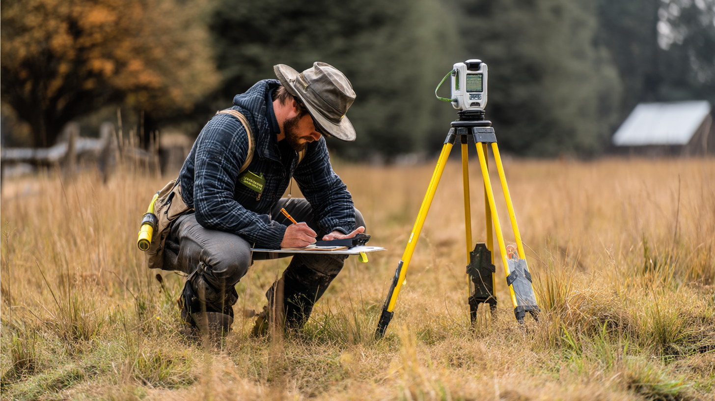
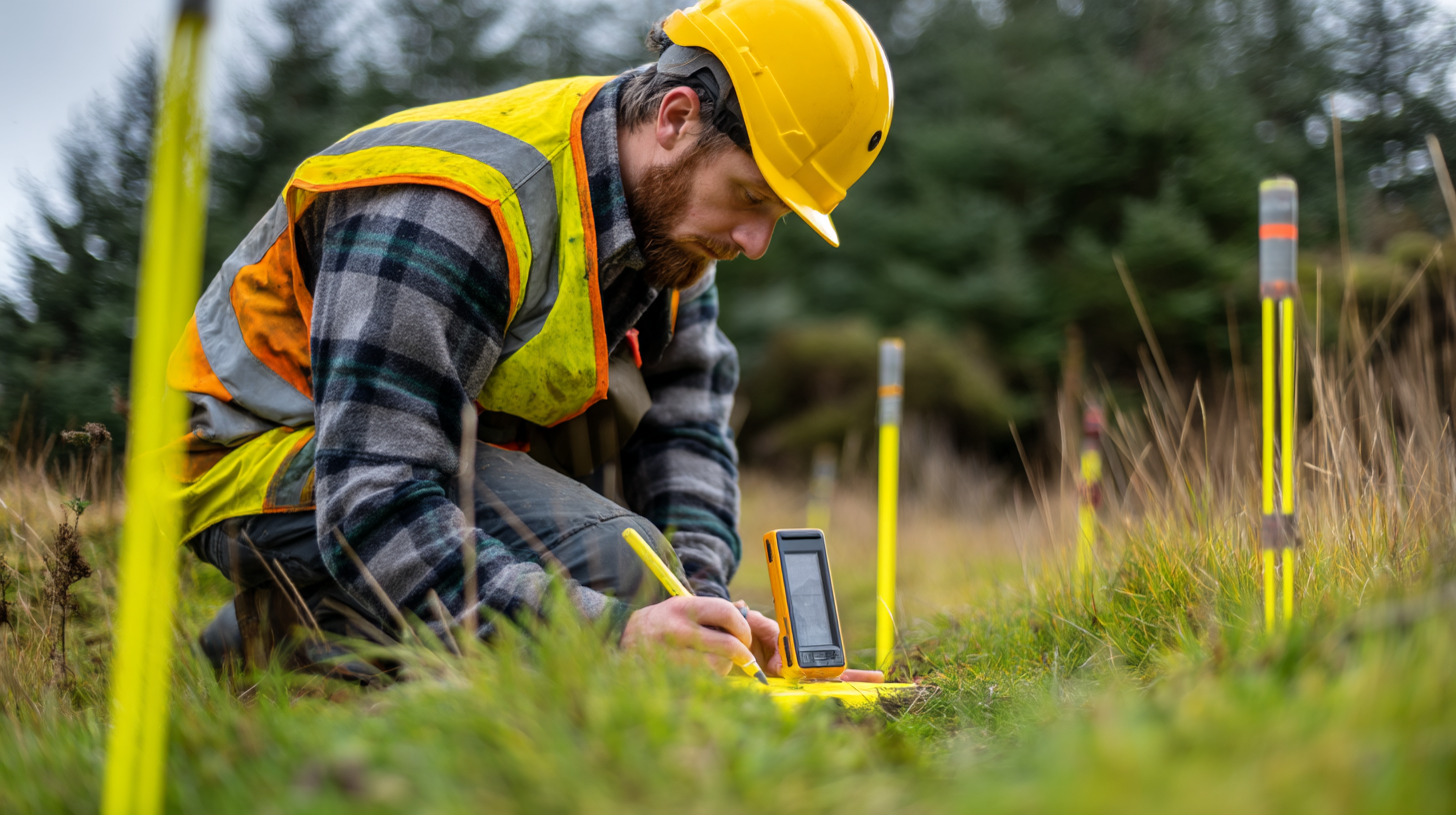
First, our land surveyor team visits the ground to locate existing markers (monuments) like pipes, rebar, concrete corners, or old records. In many cases monuments have been disturbed or removed, so we must re‑establish them. Survey instruments like GNSS receivers, total stations, and sometimes drone or LiDAR scanning are used to gather data and establish control points. That enables us to map land boundaries and to record the location of significant improvements or structures.
Researching Records, Maps, and Historic Evidence
We also dive into other records, deeds, legal documents, old cadastral maps, original surveys, county archives, and historical plats. That research helps us locate conflicting claims or gaps in documentation. A strong investigation into prior maps, records, and survey history underpins the validity of any proposed boundary.
Boundary Analysis, Adjustment, and Reconciliation
Once field data and records are in hand, the cadastral surveyor performs mathematical checks (closure, error balancing) and evaluates discrepancies. In cases of overlapping descriptions or ambiguous lines, we apply proportioning methods or weighted evidence analysis to arrive at a defensible solution. The goal is always to align boundaries with both the physical and legal evidence in a manner consistent with professional standards and regulations.
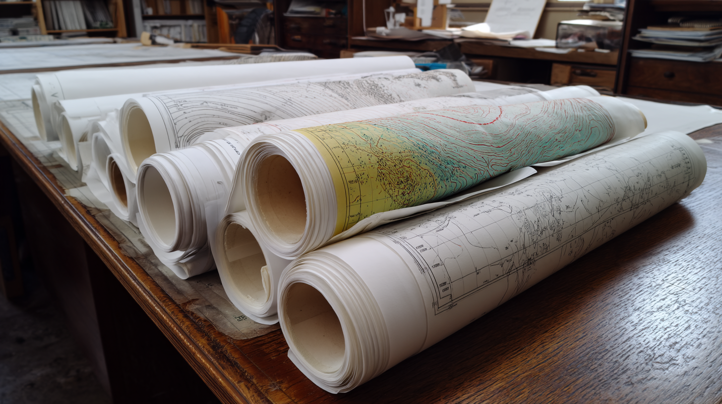
Deliverables: Plats, Legal Descriptions, Filings
Clients receive:
- A certified cadastral map showing the parcel, monuments, boundary lines, encroachments, and relevant structures
- Legal documents such as precise descriptions (metes and bounds or coordinates) ready for title, deed, or permitting
- Where required, filings such as Record of Survey or Corner Records with the county or local jurisdiction
Once recorded, the new map becomes part of the public record, updating the cadastral register for the region.
When Should You Commission a Cadastral Survey?
Knowing when to engage a cadastral survey can save you from later complications.
- Before development or construction – If you’re building a house, an ADU, or adding structures, you need clear boundaries up front.
- When subdividing property or doing lot line adjustments – You cannot legally split or reconfigure parcels without a survey.
- During property acquisition or sale – To ensure you’re acquiring what you expect, with no encroachments.
- When monuments are missing or disturbed – To reestablish corners reliably.
- When disputes arise – The survey provides impartial evidence for conflict resolution.
- When you anticipate regulatory filings – Many counties require surveyed parcels for permitting, zoning, or public works.
If you have any doubt, GSDE can perform a preliminary review to tell you whether a full cadastral survey is necessary.
Legal Framework in California and Filing Requirements
Licensing, Responsible Charge, and Professional Standards
Under the California Professional Land Surveyors’ Act, cadastral surveys must be performed under the responsible charge of a licensed land surveyor or a civil engineer authorized to practice land surveying. The survey must bear the surveyor’s stamp, signature, and license number. That ensures accountability and legal defensibility of the boundary solution.
When to File a Record of Survey vs Corner Record
California law mandates filing a Record of Survey when certain conditions exist: new monuments, confirmed conflicts with prior recorded surveys, or discovery of material discrepancies. In simpler cases (e.g. replacing a corner that has no disagreement), a Corner Record may satisfy the filing requirement. Each county may have additional rules for reviewing and accepting survey filings.
Coordination with County Offices and Public Land Agencies
Counties in Northern California, including Sacramento, El Dorado, Sonoma, and others, review submitted cadastral maps and legal descriptions to verify compliance. GSDE handles the full process, ensuring that the survey meets the technical, legal, and filing standards required by local government and land management offices. The Bureau of Land Management (BLM) department may also be involved when public lands are adjacent or affected.
Applicants must complete specific forms provided by the county or relevant department to initiate the survey process. These forms help describe the property and outline the provisions governing the survey. The applicant’s identification and interest in the property are essential for processing and ensuring that all parties have equal consideration in the survey proceedings.
Cadastral Maps, Accuracy, and Technology
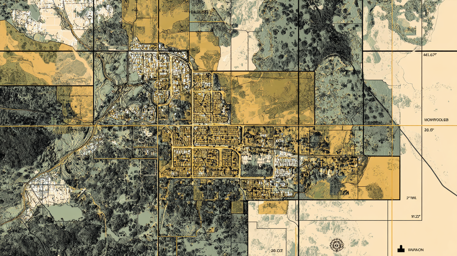
High‑Quality Maps and Digital Records
A core product is the cadastral map, but in 2025 these are no longer just paper artifacts. Digital mapping, GIS integration, and coordinate data allow these cadastral maps to be integrated with municipal and county mapping systems, improving clarity and reducing errors across multiple land records systems.
Tools That Improve Accuracy, Speed, and Reliability
Modern land surveyor teams use:
- GNSS and real‑time kinematic systems for precise point location
- Total stations and robotic instruments for rigorous control
- Drones and LiDAR scanning to capture dense terrain and structural data
- 3D modeling and GIS integration for clear visual outputs
- AI tools to assist in feature extraction, anomaly detection, and data validation
Using these tools, GSDE ensures that boundary positions are as defensible as possible, reducing rework and enhancing confidence in the final maps and legal documents.
Common Challenges in Cadastral Surveys and How We Solve Them
Conflicting Documents and Overlapping Descriptions
Often historic deeds reference vague features (like trees or fences) that no longer exist. When legal documents, original surveys, and field evidence conflict, we weigh the credibility of each source. Our cadastral surveyor must provide justification for boundary placement in a way defensible to clients, title companies, or courts.
Missing or Disturbed Monuments
A property’s physical markers may have been removed, relocated, or destroyed. In that case we reestablish points using known reference data, programming, and surveys of adjoining parcels.
Encroachments and Improvements
Buildings, fences, driveways, or landscaping may cross assumed boundary lines. Our survey calls out those improvements relative to new boundary lines, identifying encroachments for resolution.
Legacy Survey Discrepancies
Some areas have older surveys drawn to less precise standards. Reconciling a legacy survey with modern accuracy requires careful adjustment, layering of records, and legal caution.
Access, Terrain, and Site Conditions
Dense vegetation, steep slopes, or obstructed access can complicate field work and increase cost or time. Our team plans for contingencies and communicates transparently with the client.
Cost Range and Factors That Affect Pricing in California
Survey fees vary. For residential parcels in urban or suburban zones, a typical cadastral survey may cost from $3,000 to $7,500 depending on complexity. More remote or large parcels can go higher. Key cost drivers include:
- Parcel size, shape, and slope
- Number of monuments to reestablish or replace
- Volume and complexity of records and historic documents to review
- Filing or permitting fees with the county
- Access, terrain, or obstructions
- Proximity to control benchmarks or grid systems
Never accept a vague price. GSDE provides transparent quotes so you know exactly what is included. The value of having a well‑executed cadastral survey often outweighs the cost of boundary disputes, redesigns, or legal headaches.
How GSDE Executes Cadastral Surveys for Clients in California
Licensed, Client‑Centered Survey Teams
GSDE’s team comprises licensed land surveyors and experienced cadastral surveyors who understand how to deliver technically sound, legally compliant results. We explain each step, communicate progress, and ensure you know what to expect.
Integrated Workflow with Design and Engineering
Because GSDE also offers architectural, civil, and structural engineering, your cadastral survey feeds seamlessly into later phases of design. That eliminates misalignment or rework, and ensures your property layout, grading, and utilities respect real boundary constraints from the start.
Service Across Key Regions
We serve property owners in Sacramento, Folsom, El Dorado Hills, Santa Rosa, San Jose, and throughout Northern and Central California. In every locality we navigate local regulations, coordinate with county offices, and tailor surveys to regional contexts.
Quality Assurance, Defense, and Record Preservation
After we complete a cadastral survey, we conduct quality checks, document all evidence and decisions, and archive everything. If disputes arise later, we are ready to defend the boundary decision using documented factual and legal basis. We also assist with preserving records in local cadastre or mapping systems.
FAQs: Common Questions About Cadastral Surveys
Is a cadastral survey the same as a boundary survey?
Yes, in many contexts. The term “cadastral survey” has more formal or legal connotations, especially when tied to a cadastre or land registry. Both define boundaries and parcel extents.
How long does a cadastral survey take?
For a typical residential parcel, 2 to 4 weeks is common. More complex or rural sites may take longer depending on site access, records, or stakeholder coordination.
Do I have to file the results with the county?
Not always. A Record of Survey or Corner Record is required only when conditions warrant, such as new monuments or conflicting corners. GSDE evaluates your situation and handles filings when necessary.
Can a cadastral survey help a neighbor dispute?
Definitely. A certified survey from a licensed cadastral surveyor provides neutral evidence of where boundaries lie, and is often accepted in mediation, legal proceedings, or title resolution.
What do I get after the survey?
You’ll receive a certified cadastral map, legal descriptions, any necessary filings, and data for use in planning, permitting, or architectural design.
Are drone or LiDAR surveys legally valid?
These technologies assist accuracy and site modeling, but land boundaries must be confirmed by survey instruments and methods accepted under law and professional standards.
How do I choose a surveyor?
Look for licensing, experience in boundary work, fidelity to regulation and ethics, and full documentation of evidence and decision logic. At GSDE we offer all that plus integration with engineering and design.
Summary and Call to Action
A cadastral survey is more than just drawing lines, it’s the process by which your land parcels, land boundaries, and land ownership become defensible and aligned with the historical, legal, and physical reality. Given the stakes in California, property value, permitting, development risk, relying on competent cadastral surveyors and land surveyors is non‑negotiable.
Let GSDE be your trusted partner in this critical phase. From field work to research, from mapping to legal filings, we bring precision, transparency, and deep local knowledge. If you are ready to secure accurate boundaries for your property development or safeguard your investments, contact GSDE today to schedule a cadastral survey consultation.