Partnered with #1 ADU Builders
18 Aug
- Golden State Design & Engineering
- Comment 0
Understanding the Different Types of Land Surveys in California
When planning any development, selling real estate, or resolving property title issues in California, it is essential to understand the types of land surveys that may be required, land survey costs, and how a professional land surveyor supports the overall construction process by defining property boundaries precisely and providing detailed survey information. Whether you are mapping property lines for a custom home in Folsom or securing a development permit application for industrial sites in Sacramento, GSDE delivers clarity with every survey type we offer.
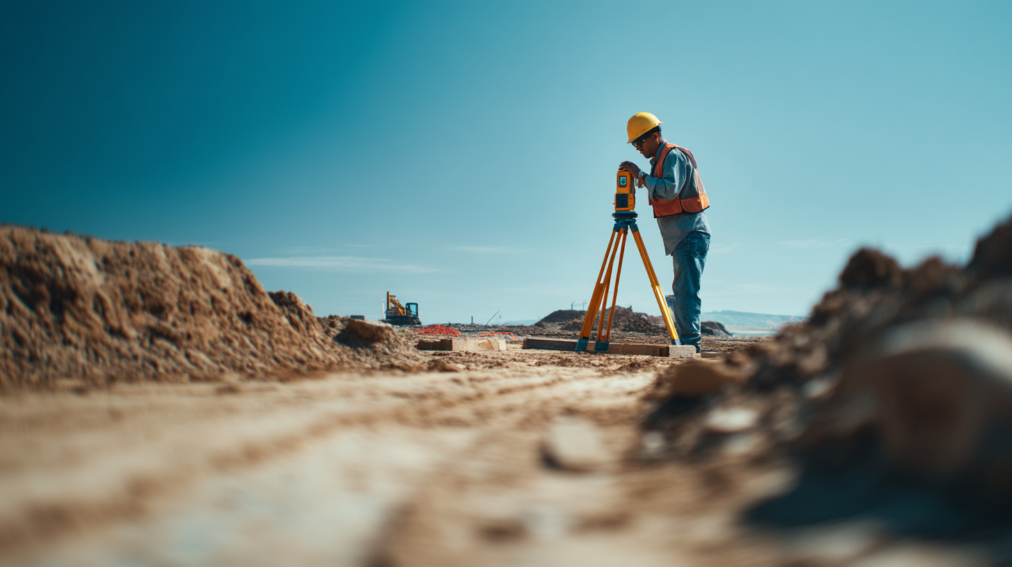
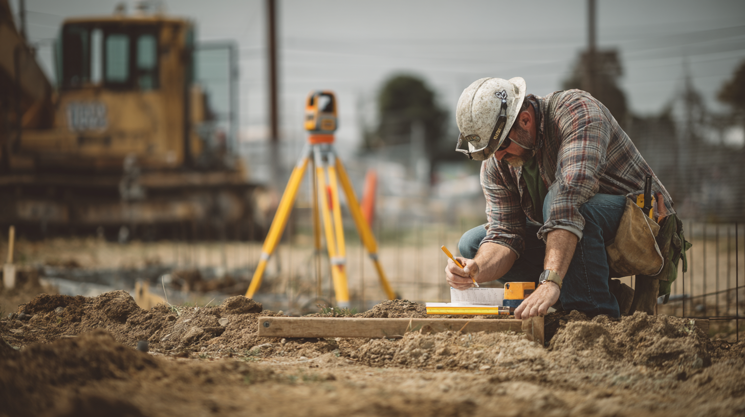
A land survey begins with record and field research, using past land survey records and recorded deeds to trace property boundaries and legal boundaries and then deploying traditional field techniques and advanced survey technologies such as drone captured data help, GPS and total station instruments to confirm physical markers on the ground. The result is reliable data for planning site improvements, vertical grading, and ensuring compliance with building and zoning codes. Survey data also supports planning the construction process and serves property title owners with confidence on their own property. Many landowners keep survey results as personal records to verify property boundaries and plan future property improvements.
Why Land Surveys Matter

Accurate determination of property boundaries and boundary lines protects property title owners, helps prevent disputes with adjoining lands, ensures compliance with local government agency requirements, and shields developers or homeowners when selling real estate or applying for development permit applications. Survey type choices such as boundary and topographic surveys or a comprehensive ALTA survey align with different needs, whether subdivision survey, mortgage survey, or site planning survey combines various data layers to support design improvements.
8 Common Types of Land Surveys You Should Know
1 | Boundary Survey
A boundary survey identifies property corners, property boundaries, boundary lines, and physical markers. It involves both record research of past land survey records and recorded deeds and ground field methods. This type of land survey is essential when you are selling real estate, installing fences, or verifying legal boundaries. A boundary survey ensures you know your own property and protects from encroachments on adjoining lands, including locating easements that might affect your property rights.
2 | Topographic Surveys
Topographic surveys document natural features such as terrain contours, streams, trees, and utilities, as well as man-made features. These surveys support vertical grading, planning site improvements, and are integral to preliminary design plans. By accurately measuring the property’s elevation, topographic surveys provide critical data to plan design improvements effectively. The site planning survey combines boundary and topographic surveys when creating site layouts for structures, landscaping, or infrastructure.
3 | ALTA Surveys
The American Land Title Association survey, often called an ALTA survey, follows standards set by the national society and includes detailed features such as easements, encroachments, access rights, improvements, flood insurance zones, and property title owner details. ALTA surveys are often required by lenders for commercial transactions and provide detailed survey information for title insurance.
4 | Construction Survey (Construction Staking)
A construction survey, also known as construction staking, is a survey type deployed during the overall construction process. This survey requires staking to mark proposed drawings on the ground, guiding construction personnel and ensuring structure locations align with development plans. This method relies on precise fieldwork using control points, offset measurements, and ensures structures are placed correctly according to approved design improvements.
5 | Location Survey

A location survey maps interior improvements, structures located on the property, and shows where they stand relative to boundary lines. Similar to a mortgage survey, it is commonly used for permit applications and financing. It helps confirm compliance with building and zoning codes and reveals encroachments or setbacks.
6 | As‑Built Survey
An as built survey documents as constructed dimensions after the construction process is complete. It provides a record to compare actual structure locations with proposed designs, supporting final building approvals or future renovations. This survey aids in verifying that site improvements were executed in alignment with development permit applications.
7 | Subdivision Survey
Subdivision surveys are critical for dividing land into legal parcels. The survey defines new lot boundary lines, updates property deed records, and requires mapping of roads, easements, and infrastructure to local government agencies. These surveys must conform to subdivision regulations and support new property boundaries for future ownership and development.
8 | Specialty and Advanced Survey Technologies
In addition to traditional field techniques, advanced survey technologies such as drone captured data help gather aerial imagery, produce detailed topographic features, and create 3D models. Ground Penetrating Radar may detect subsurface utilities, while structure-from-motion photogrammetry helps model complex terrain. These innovative methods complement traditional surveys and improve efficiency and accuracy.
Choosing the Right Survey Type for Your Project
Selecting the correct survey type depends on your project goals. If you are designing a custom home, boundary and topographic surveys are usually sufficient. If the project is commercial or involves financing, an ALTA survey may be required. Construction projects need construction staking, while renovations benefit from as built surveys. For land development, subdivision and site planning surveys are essential. A professional land surveyor helps evaluate record research, interpret local government agency requirements, and recommend the right mix of survey types, ensuring your project aligns with building and zoning codes and avoids future disputes.
How GSDE Delivers Survey Expertise

At GSDE, our professional land surveyors bring together record research, past land survey records, and modern field techniques to capture accurate data aligned with design improvements and legal boundaries. We support mortgage survey similar services, accurate property boundary determinations, advanced survey technologies, and seamless integration into architectural, civil, and structural planning. Our team delivers detailed survey information that supports property title owners, developers, and homeowners across California from Sacramento to Folsom to Santa Rosa.
Frequently Asked Land Survey Services Questions
What is the difference between a boundary survey and a location survey?
A boundary survey focuses on legal boundary lines and property corners, while a location survey includes interior improvements in relation to those boundaries, often for permit or mortgage review.
What is an ALTA survey?
An ALTA survey follows standards set by the American Land Title Association and National Society of Professional Surveyors, providing a detailed view of property boundaries, easements, improvements, and flood insurance zones for title insurance purposes.
Do I need a subdivision survey?
Yes, when dividing a parcel into multiple lots. Subdivision survey defines new boundary lines, creates plat maps, and ensures compliance with local subdivision regulations.
How do topographic surveys support site planning?
They provide elevation data and topographic features needed to plan site improvements, vertical grading, drainage, and placement of structures.
Can drone captured data help my project?
Absolutely, drone captured data speeds up collection of topographic features and accelerates site planning surveys with high-resolution aerial imagery.
Final Thoughts and Call to Action
Choosing the right combination of survey types, from boundary survey to ALTA, construction staking, or subdivision survey, is essential for planning, permitting, and project delivery. Accurate land survey work ensures confidence in property lines, compliance with building and zoning codes, and transparency for property title owners. GSDE’s team of professional land surveyors puts record research, past land survey records, boundary lines, advanced survey technologies, and fieldwork together to support every phase of development. Contact GSDE today to discuss what types of land surveys you need, and let us support your project with accurate survey data and expert guidance.
#NAICS’s:
- 541310 Architectural Services &
- 541330 Engineering Services
DUNS NO:
- 119132267
#SIC’s
- 8712 Architectural Services &
- 8711 Engineering Services
Cage #
- 9R4L5
#UNSPSC’s:
- 81101500, 81101502, 81101505, 81101508, 81101526, 81101533, 81101522