Partnered with #1 ADU Builders

30 May
- Golden State Design & Engineering
- Comment 0
California Subdivision Map Act Explained: What Landowners Must Know
Legal Clarity for Landowners: Understanding the California Subdivision Map Act
Here is the breakdown of the California Subdivision Map Act explained: what landowners must know. Dividing real property in California can unlock value, create development opportunities and long term investment, but it also brings a complex web of regulations, legal requirements and agency coordination. At the heart of this process is the California Subdivision Map Act, the foundation of land division in the state. Whether you own improved or unimproved land, understanding this law is key to keeping your project compliant from start to finish.
The Act was created to protect the interests of buyers, local communities and public agencies by ensuring new subdivision proposals align with local plans, zoning laws and infrastructure. For landowners, developers and real estate professionals this means more than just drawing new property lines. It means public hearings, engineering requirements, tentative map approval procedures and local ordinances, all while complying with California Government Code sections, state regulations and environmental policies.
At Golden State Design & Engineering (GSDE) we guide our clients through the subdivision process with precision. From property boundaries and preliminary soils reports to city approvals and building permits our integrated team delivers clarity and peace of mind through every stage of your project.
Key Provisions in the Subdivision Map Act
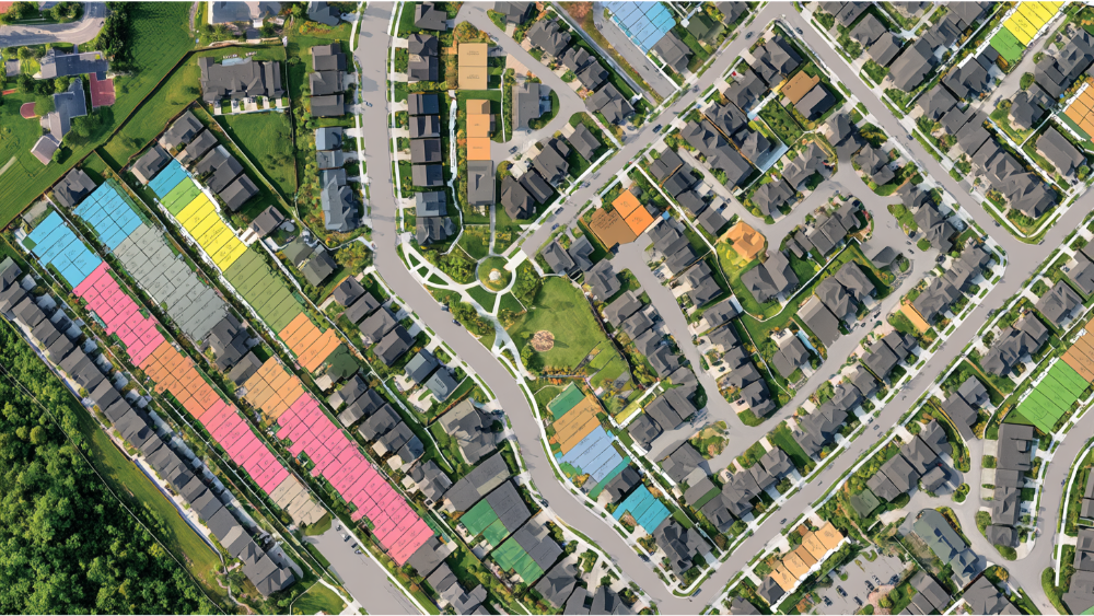
The Subdivision Map Act was enacted in 1974 and is codified in California Government Code. It governs how real property is divided into separate parcels. It applies to most subdivisions involving the sale, lease or financing of land. This includes projects involving existing dwelling units and vacant parcels as well as land divisions for new subdivision development or long range planning.
The Act’s purpose is to ensure proposed subdivisions meet public safety, environmental and infrastructure standards. To do this it authorizes local agencies, typically planning departments, city engineers and building departments, to review and approve subdivisions. This includes reviewing proposed maps for consistency with zoning laws, the local general plan and local ordinances.
For example, a property owner wanting to subdivide a single large parcel into multiple lots must submit a tentative map showing parcel layouts, utility access and public easements. Local agencies will evaluate this against local standards and California environmental law, including the California Environmental Quality Act (CEQA), to address issues such as traffic, drainage and environmental impacts.
In most cases subdivision approval also requires the developer to install public improvements such as roads, sewer systems, sidewalks and streetlights. These are necessary to ensure the new lots can safely serve future residents and not burden existing infrastructure.
Regulatory Complexity: What Property Owners Need to Navigate
Subdividing property in California isn’t just a design challenge, it’s a legal and regulatory journey that touches multiple jurisdictions and disciplines. Landowners must consider zoning restrictions, local ordinances, CEQA compliance, infrastructure feasibility and neighborhood impact.
The regulatory complexity arises because land division involves multiple agencies, each with their own review criteria. The planning department might focus on zoning and density, public works will evaluate utility demand and environmental reviewers will assess the impact on nearby open space or adjoining properties.
At GSDE, we help landowners address these issues early by preparing thoughtful subdivision plans that anticipate regulatory questions and reflect real world site conditions. Whether you’re working with existing dwelling units, proposing a stock cooperative or coordinating with neighbors over property lines and shared access, our job is to minimize roadblocks before they slow your project.
Key Terms Landowners Need to Know

Before you start a subdivision, you need to know the terms and requirements that govern the process. Here’s a breakdown of the most common terminology:
- Subdivision: The legal division of a parcel into two or more parts for sale, lease or financing.
- Tentative Map: A conceptual design showing lot lines, street access and utilities. Required for most subdivisions and reviewed by local authorities.
- Final Map: The legally recorded version of a subdivision, based on accurate surveys and official approvals.
- Parcel Map: Used for divisions creating four or fewer lots.
- Tract Map: Required for subdivisions of five or more parcels.
- Lot Line Adjustment: A modification of property lines between existing parcels that does not create new lots.
- Parcel Map Waiver: An exception available for large properties that meet certain criteria.
- Preliminary Soils Report: A geotechnical report often required to verify site suitability for development.
- Public Improvements: Infrastructure such as roads, sewer, stormwater systems and sidewalks required as part of a subdivision.
Knowing these terms will help you align your subdivision plan with state regulations and local requirements.
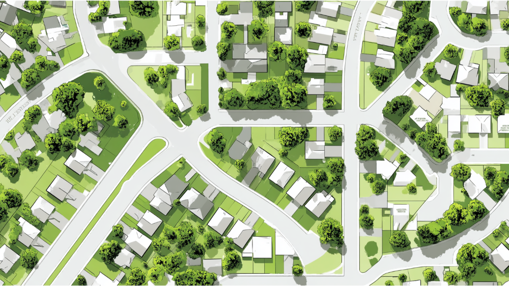
When the Act Applies to Land Development Projects
The Subdivision Map Act applies to all land development projects involving the division of improved or unimproved land into separate parcels. It covers both residential and commercial projects, from rural lot splits to large urban subdivisions.
Here are some reasons the Act may apply to your project:
- Splitting a large single-family lot into two or more legal parcels
- Creating lots for townhomes, apartments or condominiums
- Establishing parcels for commercial, industrial or mixed-use real estate
- Transferring a portion of your land to another party or for sale
- Planning a new subdivision with public spaces or shared amenities
Even small projects, such as dividing a backyard to add an ADU or sell a side lot, must be evaluated under the Act if it involves real property intended for separate ownership.
Step-by-Step: How Subdivision Works in California

Step 1: Site Review and Early Planning
Every subdivision begins with a feasibility review. GSDE conducts a thorough analysis of your site, evaluating topography, existing utilities, property boundaries, and potential conflicts with zoning laws or local infrastructure plans. We gather essential data such as legal descriptions, previous lot configurations, and title reports. This foundation informs your subdivision design and determines whether the site is eligible for development under the Subdivision Map Act.
Step 2: Tentative Map Submission and Public Hearings
Next, we develop and submit a tentative map to the local planning department. This map outlines the proposed subdivision, including lot sizes, property lines, road layouts, drainage plans, and utility infrastructure.
Most jurisdictions require public hearings as part of this process. These meetings give community members and local agencies a chance to voice concerns about the proposed development, whether related to environmental concerns, traffic, or adjoining properties.
In many cases, CEQA review is triggered at this stage, especially if the site is environmentally sensitive or involves more intensive development. GSDE helps clients prepare environmental documents, respond to agency feedback, and refine designs to meet all local ordinance and CEQA requirements.
City Engineer’s Role in Subdivision Approvals
The city engineer is technical. They review the tentative and final maps to make sure the subdivision meets municipal standards for grading, stormwater management and street design. Their input can impact approval timelines, off-site improvements and construction sequencing.
We work with city engineers to address comments, schedule inspections and make sure your subdivision meets public works policies and infrastructure capacities.
Step 3: Final Map and Infrastructure Commitments
With tentative map approved we prepare the final subdivision map, including precise survey data and legal descriptions. This is the version that gets recorded with the county recorder and becomes the legal document that creates the new parcels.
Simultaneously developers must enter into a subdivision improvement agreement and post a performance bond to guarantee the completion of the required infrastructure. This includes public easements, roadway improvements, utility connections and sometimes public spaces.
Step 4: Record the Map and Ready to Build
Once final approvals are in place the subdivision is recorded. At this point the lots become legal entities that can get building permits, sold or developed. GSDE supports clients through this final phase by submitting as-builts, scheduling agency signoffs and verifying all mapped conditions.
Public Improvements in Subdivisions
For most subdivisions public improvements are required. These improvements ensure new parcels tie in with the surrounding community and don’t strain existing infrastructure.
Typical required improvements are:
- Graded and paved streets with curb and gutter
- Underground utilities (water, sewer, power)
- Stormwater management systems
- Pedestrian paths and streetlights
- Easements for access or maintenance
Local governments often tie final approvals and occupancy to completion of these improvements so timing and coordination are key. Our civil engineering team manages this process from design to construction.
Common Mistakes and How to Avoid Them
Subdivision mistakes can cost delays, rework or even project denial. Here are the most common mistakes, and how we help our clients avoid them:
- Submitting an incomplete or non-compliant tentative map
- Choosing the wrong process (parcel vs. tract map) based on project size
- Underestimating infrastructure costs or construction time
- Overlooking environmental issues under CEQA or other regulations
- Failing to address access to adjacent properties
- Not complying with local ordinances on lot width, setbacks or density
Avoiding these mistakes requires collaboration across disciplines, from surveying and engineering to planning and legal. GSDE makes sure nothing gets missed.
Legal and Legislative Changes to Know (2024–2025)
Recent changes are impacting how subdivisions are evaluated and approved in California:
- SB 677 (2025) changed lot split rules under California Government Code, removed minimum parcel sizes and opened up more options for affordable housing.
- New case law says referencing multiple lots in a deed doesn’t automatically require subdivision, good for real estate agents dealing with complex transfers.
- Several local agencies have updated their zoning and subdivision ordinances to align with state housing goals.
Stay current with these changes. GSDE’s team is always monitoring to keep your subdivision strategy current and competitive.
How GSDE Helps with Subdivision Projects
GSDE offers a one-stop-shop for subdivision design and entitlement. We combine land planning, engineering and permitting into one efficient, compliant and goal-oriented process.
Our services include:
- Property analysis and feasibility studies
- Boundary and topographic surveying
- Tentative and final map preparation
- Civil engineering for infrastructure
- Permit processing and agency coordination
- Construction inspection and compliance tracking
Whether you’re planning a new subdivision, reorganizing land ownership or preparing for development, we make sure every step is legal and supports your long-term success.
Frequently Asked California Subdivision Map Act Questions
What’s The Difference Between A Parcel Map And A Tract Map?
Parcel maps are used for 4 or less lots, typically for smaller residential or infill projects. Tract maps are for 5 or more parcels and have additional requirements for infrastructure design, environmental review and community impact. Tract map projects go in front of a planning commission which plays a big role in making sure you comply with local plans and zoning laws.
Can I Avoid The Subdivision Process If I’m Just Splitting One Parcel?
Not always. Even if you’re just splitting one parcel the resulting land division may still need to be formally reviewed under the Subdivision Map Act. While a parcel map waiver or lot line adjustment may apply, these still need local agency approval. Ultimately if there isn’t a recorded map that defines the new parcel clearly you’ll likely need to go through the tentative map process to ensure you comply with state laws and local ordinances.
How Long Does Subdivision Approval Take?
Typically 12-24 months depending on the complexity of the site, agency review timelines and if environmental studies or infrastructure upgrades are required. Projects with more community impact or public improvements go through multiple stages of review including hearings in front of the planning commission.
Who Enforces The Subdivision Map Act?
Subdivision compliance is managed by a combination of local agencies including planning departments, city engineersand building officials. These entities enforce the regulations in the California Government Code, state laws and local codes to ensure public safety, infrastructure adequacy and legal clarity in land transactions.
What If I’m Dividing Inherited Land Or Selling Part Of My Property?
Even if land is being transferred within a family or sold privately subdivision laws may still apply. Any time a new parcelis created for sale or financing the division must be evaluated for zoning compliance, recorded on an official recorded map and approved by the appropriate local agency. Planning early on is key to avoiding problems later.
Need Additional Information or Guidance?
Subdivision is one of the most powerful tools for property development, but only when done right. Navigating the process requires more than technical plans; it requires understanding zoning regulations, infrastructure needs and local agency expectations. At GSDE we combine engineering expertise with forward thinking to guide landowners through the process.
Whether you’re building housing, creating infill lots, or preparing land for resale, we can help for several reasons, from navigating local requirements to optimizing long-term value. From managing permits to working with planners and city engineers, we play a crucial role in helping landowners address concerns early and ensure the subdivision moves forward legally and smoothly.
Contact us today for a consultation and let’s build something that will last.
#NAICS’s:
- 541310 Architectural Services &
- 541330 Engineering Services
DUNS NO:
- 119132267
#SIC’s
- 8712 Architectural Services &
- 8711 Engineering Services
Cage #
- 9R4L5
#UNSPSC’s:
- 81101500, 81101502, 81101505, 81101508, 81101526, 81101533, 81101522