Partnered with #1 ADU Builders
Contact Golden State
Drop us a line! We look forward to discussing your next project with you!
Cut the chase! Schedule a face-to-face virtual meeting with us today to dive into your project's next steps.
For our returning clients, experience our streamlined, contact-free project proposal process. Simply fill out our short project questionnaire, and we'll deliver your project proposal within 72 hours.
Contact Us:
Follow Us:

- Golden State Design & Engineering
- Comment 0
How Much Does It Cost To Get Your Land Surveyed?
Land surveying is a crucial process that involves studying, measuring, and mapping land to determine its location, boundaries, and features. It plays an important role in various industries such as construction, real estate development, and infrastructure planning.
If you are considering getting your land surveyed, one of the first things that may come to mind is how much it will cost. In this guide, we will break down the factors that affect the cost of land surveying.
Factors Affecting Land Surveying Costs

The average land survey cost can vary significantly depending on several factors. Some of these include:
Type of Survey
There are different types of land surveys, and each has its own set of procedures and requirements. The type of survey needed for your property will greatly impact the cost. For example, a basic boundary survey to determine the boundaries of a property owners land will likely be less expensive than a topographic survey that involves mapping all physical features on the land, or even a construction survey/as-built survey.
Size and Shape of Land
The size and shape of your property also play a role in determining the land surveys cost. A larger property will require more time and resources to survey compared to a smaller one. Similarly, irregularly shaped properties may also be more complex and time-consuming to survey, resulting in higher land survey costs.
Accessibility
The accessibility of your property can affect the cost of land surveying. If your property is located in a remote or difficult to access area, it may require specialized equipment or additional resources to complete the survey, resulting in higher costs.
Terrain and Features
The terrain and features of your land can also impact the cost of surveying. For example, if your property has steep slopes or dense vegetation, it may be more challenging for professional land surveyors to navigate and gather accurate measurements. This could result in extra time and effort needed to complete the survey, thus increasing the overall cost.
Timeframe
The timeframe within which you need the survey completed can also affect its cost. If you require a rush job or need the survey done during a peak season, it may result in higher costs. Planning ahead and giving surveyors enough time to complete the survey can help keep costs down.
Average Cost to Get Your Land Surveyed
The cost of a land survey in California varies based on factors such as property size, terrain complexity, and survey type. On average, homeowners can expect to pay between $1,200 and $6,000 for a standard residential boundary survey. Depending on your project, you may be able to grab a price lower or higher than these averages.
Larger properties or those with challenging terrains may incur higher costs. Additionally, more comprehensive surveys, such as ALTA/NSPS surveys required for commercial transactions, can range from $2,500 to $3,000 or more.
Given the variability in pricing, it’s advisable to obtain quotes from multiple licensed surveyors in your area to ensure a fair and accurate estimate tailored to your specific needs.
4 Basic Steps To Survey A Piece Of Land

1 | Research and Preparation
Before any physical surveying begins, thorough research and preparation are necessary. This involves gathering existing records, deeds, and maps related to the property. Surveyors will also review historical data and previous surveys to understand any potential discrepancies or issues that need attention. Proper preparation helps ensure accuracy and efficiency during the actual survey.
2 | Fieldwork
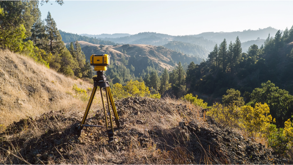
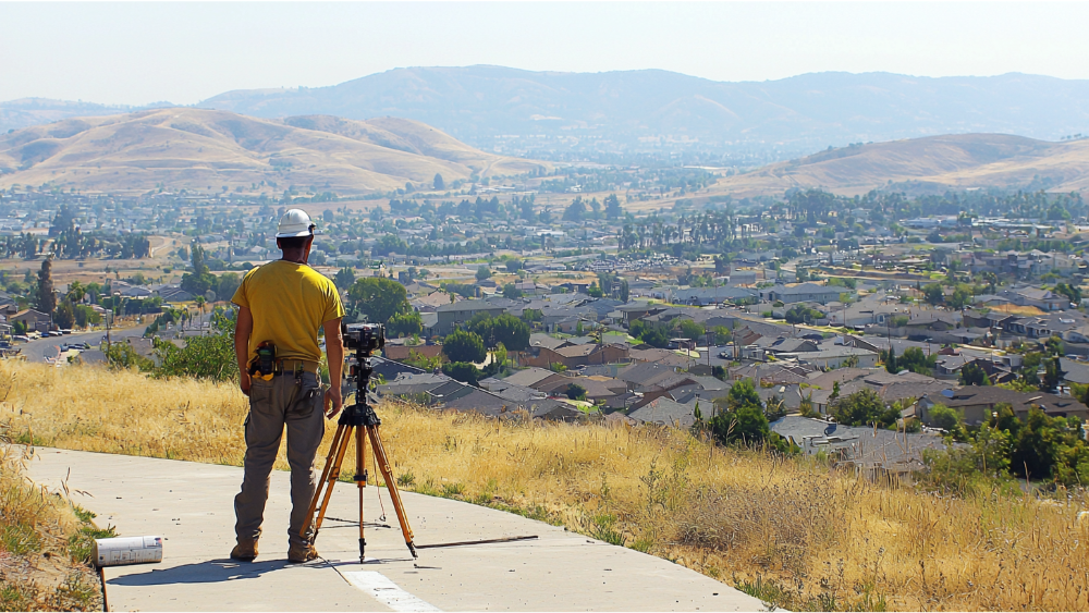
During the fieldwork phase, surveyors physically visit the property to collect measurements and data. This involves using specialized equipment like total stations, GPS, and drones to accurately chart the land. Surveyors will mark boundaries, note physical features, and take necessary measurements based on the type of survey being conducted. Fieldwork is crucial for capturing up-to-date information about the land’s conditions and features.
3 | Data Analysis
Once the field data is collected, it is brought back to the office for thorough analysis. Surveyors will process the data using advanced software to create accurate models or maps of the property. This phase may involve cross-referencing field data with existing records and resolving any discrepancies. Data analysis ensures that the final survey is accurate and reflects current land conditions.
4 | Report Preparation
The final step is the preparation of a comprehensive survey report. This report includes all findings, maps, and relevant documentation required by the client. It details the property boundaries, features, and any specific concerns identified during the survey. A well-prepared report is essential for legal disputes, future development, or property transactions. The professional land surveyor will ensure the report is clear, precise, and tailored to meet the client’s needs.
Land Surveys With Golden State Design & Engineering
Golden State Design & Engineering prides itself on being the premier land surveyor in the Sacramento area. Our team of experienced professionals is dedicated to providing comprehensive and accurate land surveying services tailored to meet the unique needs of each client. Whether you are a property owner planning a new construction project or a developer navigating the complexities of land acquisition, our state-of-the-art technology and diligent approach ensure precise results every time. By choosing us, you are partnering with experts who understand the importance of accuracy and timeliness in every surveying endeavor.
Our commitment to excellence is rooted in our extensive knowledge of local terrains and regulatory requirements. We believe that thorough preparation and clear communication are key to a successful project. From the initial consultation through to the delivery of detailed survey reports, we work closely with our clients at every step of the process. Our personalized service approach not only assists in avoiding potential pitfalls but also optimizes efficiency and cost-effectiveness. We take the complexity out of land surveying, allowing you to focus on your project with confidence.
At Golden State Design & Engineering, we recognize the critical role land surveys play in achieving your project objectives. Our seasoned team is ready to tackle any surveying challenge you face, providing high-quality service that meets both industry standards and your expectations. Don’t let uncertainties about property boundaries or land features hold your project back. Contact us today to schedule a consultation and discover how our expertise can help you achieve your goals promptly and precisely!
Frequently Asked How Much Does it Cost to Get Your Land Surveyed Questions
What types of land surveys do you offer?
At Golden State Design & Engineering, we offer a comprehensive range of land surveys tailored to meet various client requirements. Our services include boundary surveys, which are essential for delineating property lines and identifying any encroachments or disputes. We also provide topographic surveys that capture the detailed layout of the land, including elevation changes and existing structures, which are crucial for planning and design purposes. Construction staking is another pivotal service we offer, ensuring that builders have accurate locations for new structures, roads, or utilities.
Additionally, we conduct ALTA/NSPS Land Title Surveys, also known as a mortgage survey, specifically designed for commercial properties to meet rigorous title insurance standards, and subdivision surveys, which facilitate the division or consolidation of parcels for development purposes. Each type of survey is conducted with precision using the latest technology, ensuring you receive the most reliable and accurate data for your project needs.
How long does the land surveying process take?
The duration of a land surveying process can vary significantly depending on multiple factors such as the size and complexity of your property, its location, and the type of survey required. For smaller and straightforward properties, the process may take a few days to complete both the fieldwork and subsequent analysis. In contrast, larger, more complex surveys, or those with unique challenges such as difficult terrain or dense vegetation, may require additional time. Another consideration is the timing of your request; peak seasons may lead to longer timelines due to increased demand.
However, at Golden State Design & Engineering, we prioritize efficient scheduling and resource allocation to meet your deadlines without compromising on accuracy. Our team will work closely with you to provide a realistic timeline and keep you informed throughout the process, ensuring your project stays on track.
What is the importance of getting a professional surveyor?
Engaging a professional surveyor is crucial for ensuring the success and legality of your land-related projects. Professional surveyors bring expertise, precision, and a deep understanding of surveying principles and methods, providing definitive documentation that is often required for legal matters, such as resolving boundary disputes or supporting litigation. Their skills are fundamental in identifying accurate property boundaries, which prevents potential conflicts with neighbors and aids in informed decision-making regarding property improvements or purchases.
Furthermore, surveyors offer invaluable insights into the land’s current condition, revealing potential issues such as easements, encroachments, or zoning restrictions that may affect your plans. By hiring a professional surveyor, you gain peace of mind knowing that your land’s data is reliable, comprehensive, and up to date, facilitating smoother project execution and compliance with local regulations.
How do you ensure the accuracy of your surveys?
Ensuring the accuracy of each survey is a cornerstone of our operations at Golden State Design & Engineering. We achieve this through a combination of state-of-the-art technology, stringent quality control processes, and the expertise of our highly trained surveyors. Utilizing advanced equipment such as GPS systems, total stations, and UAVs (unmanned aerial vehicles), we gather precise data from the field. This data is then meticulously analyzed using sophisticated software that allows for detailed mapping and model creation.
Additionally, we conduct thorough research and cross-reference our findings with historical records to ensure consistency. Our experienced team adheres to stringent industry standards and continuously updates their skills to remain at the forefront of surveying practices. These rigorous methodologies guarantee that our surveys are not only accurate but also tailored to the specific needs of each project, providing you with reliable information you can trust.
Are your surveys compliant with local regulations?
Compliance with local regulations is paramount in our survey processes at Golden State Design & Engineering. We take pride in our deep understanding of the legal and regulatory frameworks governing land use, which enables us to deliver surveys that meet or exceed compliance standards. From zoning laws to environmental regulations, our skilled team is well-versed in the intricacies of regional requirements.
We engage continuously with local authorities and keep abreast of any changes or updates in legislation that could impact land surveying. This proactive approach ensures that all our survey work, from preparation to execution and reporting, aligns with applicable regulatory criteria, thereby preventing potential legal issues for our clients. Our commitment to thorough compliance not only safeguards your project’s legality but also fosters trust and transparency between our team and clients.
How do I schedule a survey with Golden State Design & Engineering?
Scheduling a survey with Golden State Design & Engineering is a straightforward and customer-friendly process. We understand the importance of efficient project timelines, which is why we strive to accommodate your schedule to the best of our ability. To get started, simply contact our office via phone or email, or visit our website for additional contact details and an online inquiry form. One of our team members will promptly respond to your request, discuss your specific needs, and provide a preliminary consultation.
This initial discussion helps us understand the scope of your project and any particular challenges or requirements you may have. We will then work with you to agree on a convenient time for the survey and provide a detailed estimate. Our team is committed to clear communication throughout the entire process, ensuring a smooth and hassle-free experience from start to finish.
Conclusion
In conclusion, accurate and compliant land surveys are essential for the successful execution of any property-related project. At Golden State Design & Engineering, we are dedicated to delivering top-notch services tailored to your specific needs. Take the first step towards ensuring the precision and legality of your land projects by contacting us today. Whether you need expert advice or wish to schedule a survey, our experienced team is ready to assist you. Reach out via phone, or explore further information on our website. Let us help you make informed decisions and keep your project on the path to success!
#NAICS’s:
- 541310 Architectural Services &
- 541330 Engineering Services
DUNS NO:
- 119132267
#SIC’s
- 8712 Architectural Services &
- 8711 Engineering Services
Cage #
- 9R4L5
#UNSPSC’s:
- 81101500, 81101502, 81101505, 81101508, 81101526, 81101533, 81101522


